A successful mission comes down to split-second decision-making and immediate visual data. If you’re trying to get critical information through a radio call, delays will tank your goals. Real-time data is essential.
Regardless of whether you’re a search and rescue organization, a sheriff’s department, music festival security, or state police responding to a school shooting, time is of the utmost importance. You can’t wait for transmissions to reach you over a handheld radio.
Your organization has specific goals, but it’s going to require a series of smaller decisions to get you from Point A to Point B in the allotted time. Real-time data visualization is a key component in a Common Operating Picture (COP) that teams use for successful missions or rescues.
Tight Time Lines for Search and Rescue
There’s a statistic known as the “Golden Window,” where you have 24 hours before the odds of a successful recovery decrease. In mountain search and rescue, 85% of people are found within the first 12 hours, and 97% are found within the first day. After that, the odds of a successful recovery decline.
In search and rescue (SAR), every second counts. These specific technologies are essential for the visual data needed for a successful recovery.
- Aerial & Drone Surveillance – High-definition video and 360º cameras provide rescue teams with real-time video or images of inaccessible areas, such as deep into an icy chasm or high up a cliffside.
- Geographic Information System (GIS) & Digital Mapping – Using real-time digital maps with terrain or weather overlaid allows commanders to coordinate the next grids to search and monitor progress. Tracking team members’ live GPS locations enables commanders to see where searchers are and direct their movements as they finish their areas.
- Probability of Area (POA) Heatmaps – Real-time updates occur as searchers and technology provide data, keeping search grids updated to the minute.
- Thermal & Multispectral Overlays – Paired with a drone, thermal and multispectral overlays provide heat signatures on topographic maps, identifying people deep in the forest or other terrain.
- Wide-Area Motion Imagery (WAMI) – When it’s available, these sensors allow you to monitor a massive area in real-time.
Valuable Information During Military Operations
During Desert Storm, an estimated 17% of casualties were the result of friendly fire. Real-time data does more than identify where enemy troops are hiding. It’s a way to identify where all members are at any given moment. Delayed transmissions put lives at risk.
- Blue Force Tracking (BFT) – BFT provides real-time synchronization of friendly unit positions, even as they move towards a target or safe zone.
- C4ISR Integration – Command, Control, Communication, Computers, Intelligence, Surveillance, and Reconnaissance data allows for clear 3D visuals of a battle zone. Dropped signals or latency issues could cause critical information to be lost.
- Sensor-to-shooter links provide real-time visuals from high-altitude drones, transmitted directly to a ground operator in a mobile command unit. Quick and clear footage transmissions eliminate guesswork, enabling rapid decision-making.
Broader Views for Public and Crew Safety
Have you ever watched real-time video of crimes in England? The country has cameras transmitting live feeds 24/7. Law enforcement officers monitor these feeds and alert officers when a crime occurs. The real-time response provides efficiency and helps solve crimes, as it’s easy to follow the direction getaway cars travel.
All of this requires real-time data that’s analyzed back in a command center. The same can happen in a town or during an event.
- Blue Force Tracking – We mentioned it earlier. In a large warehouse fire, the technology tracks firefighters’ movements as they navigate the different rooms and floors.
- Hazardous Plume Modeling – In an event such as a forest fire, plume modeling provides real-time visualization of smoke spread using current and predicted wind speeds. This allows officials to know when it’s time to evacuate communities.
Identifying Crowd Dangers at Events and Disasters
Major music festivals like Coachella, Lollapalooza, and SXSW draw hundreds of thousands of attendees. If you have an event like Coachella that attracts an estimated 250,000 people, crowd control and security need to identify issues and take immediate action.
- AI-Driven Visual Alerts – Using drones and stationary cameras, operators can monitor crowds for unusual activity. For example, someone is walking quickly in the wrong direction through the entering crowd. That could indicate a problem with that person that ground security can investigate.
- Crowd Density Analytics – Computer data can use heatmaps to analyze crowd size and movements around the park, identifying possible crush points or bottlenecks that could cause problems. Preventive action helps prevent injuries.
Modern Technology Is More Than Radio Calls
Hand-held radios are a thing of the past, which makes it easier to plan, execute, and achieve positive results during a mission, rescue, or other large-scale event. It’s important that the equipment matches your needs, though.
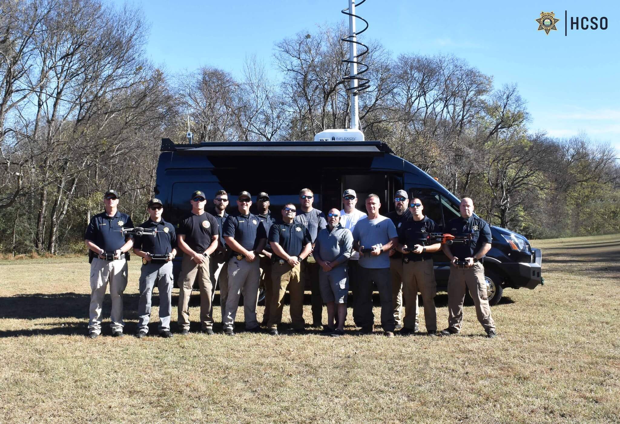
Latency isn’t acceptable anymore. You don’t want delayed data returns that place a search party, military member, or first responder hundreds of yards away from where you believe they are. With Draxxon’s mobile command units, on-board technology, and key visualization features, success is ensured. Features include:
- Exterior antennas and signal boosters – Ensure strong connections with teams, even when you’re in a remote location.
- Generators – Have power for long-term missions.
- Integrated communication systems – Use a variety of electronic devices, even if speed requirements differ, within one system.
- Interior flight and work stations – Commanders can sit inside a climate-controlled vehicle while viewing real-time visuals and issuing commands to all teams simultaneously.
- Inverter and battery power sources – Charge electronics like drones, smartphones, and GPS handhelds using solar panels and onboard inverters.
- Live streaming and broadcasting – Your team and drones can stream live footage to you, and you can broadcast to them.
- On-board imagery and data recording – Let computers analyze large amounts of data in less than a second for faster decision making and directions to return to your team members.
- PTZ optical and thermal cameras – Gain full-spectrum, 360º images of terrain, even in the dark of night.
- Weather stations – Keep track of weather using radar images and real-time reports to ensure crews reach safety if a storm is coming.
Where the Future of Mission-Ready Mobile Command Is Headed
If you go back 30 or 40 years, to the days when people believed that pixelated characters in games like The Legend of Zelda were amazing, no one could have predicted movie-quality video games or drones that let you reach deep into unreachable terrain with cameras.
Every year, technology advances, introducing amazing new features that people couldn’t have imagined decades ago. Augmented Reality (AR) places data visualization in your field of vision, making it easier to respond quickly to changing data or visual information.
AI can analyze information in fractions of a second to provide insight into what will happen, rather than what is happening. It’s easy to collaborate using synchronized visuals that an entire team can see at the same time. It’s now possible to make immediate decisions that everyone is aware of the moment they happen.
Schedule a DX Mobile Unit demonstration to explore all the benefits of Draxxon’s mobile command system. We bring a unit to your location and provide:
- Setup
- Walkthrough
- Scenario Testing
- Q&A Session
After this real-time test of the mobile command system, we can use the information gathered during the test and the Q&A session to configure your unit. Add the Guardian Program to your mobile command system and enjoy priority access to the latest products and features, so you always know about upcoming and available technological advancements.